BC Designates 45,000-Hectare K’ih ts’aaʔdze Protection Area, Restricting Forestry for Four Years
The British Columbia government, in partnership with Doig River First Nation, established a new interim land protection designation on July 10, 2026, placing approximately 45,000 hectares of Crown land in northeastern BC off-limits to new development — and restricting forestry operations for the next four years.
The K’ih ts’aaʔdze Protection Area was created under the Environment and Land Use Act (ELUA) and Part 13 of the Forest Act. For forest industry planners and tenure holders operating in Treaty 8 territory, the designation introduces a significant shift in the land base: no new dispositions, no new industrial activities, and a firm four-year forestry restriction within the protected boundary.
A 10-Year Interim Measure With Real Near-Term Teeth
The designation is framed as an interim protection measure lasting 10 years, designed to hold the land base stable while long-term planning discussions between the province and Doig River First Nation proceed. But “interim” should not be read as “soft.” Under the current order, the 10-year window carries legally binding constraints on what operators can do on the landscape.
New land and resource dispositions are prohibited outright. Industrial activities that would alter the land surface are not permitted. Existing lawful activities — including any tenures already in place before the designation — may continue, but only on the condition that they cause no additional land surface disturbance beyond what was already occurring.
The four-year forestry restriction adds a further layer. For active licence holders and woodlot operators with area-based tenures or cutting permits that overlap the K’ih ts’aaʔdze boundary, this is a direct operational constraint requiring attention in annual allowable cut planning and harvest schedule adjustments.
Caribou Habitat and Boreal Ecosystem Protection
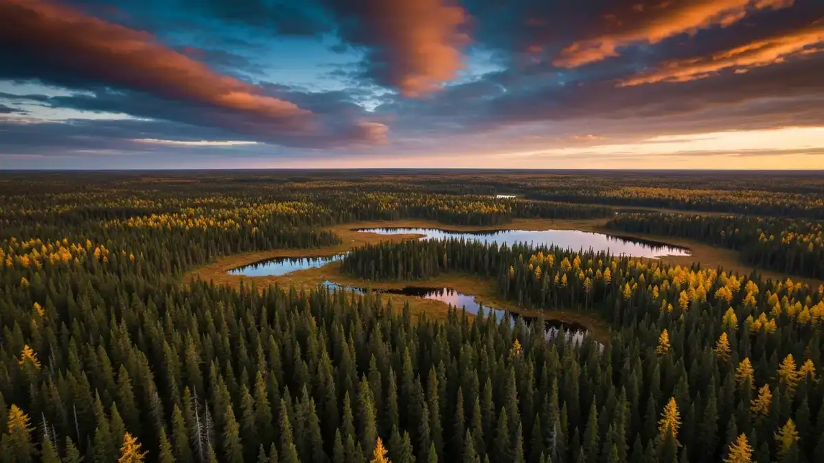
The ecological driver behind the designation is caribou. Northeastern BC’s boreal forests are home to woodland caribou populations that have experienced range contraction and habitat fragmentation in recent decades. The K’ih ts’aaʔdze area protects a block of boreal Crown land that the province and Doig River First Nation have identified as critical to maintaining functional caribou habitat connectivity.
The designation also aims to support ecological restoration within the protected area. Boreal ecosystems in the region — dominated by black spruce, tamarack, and associated wetland complexes — provide habitat structure that takes decades to re-establish after industrial disturbance. By locking down new disturbances now, the designation creates conditions for passive recovery of areas that have already been affected.
For the broader forestry sector, this is a pattern that has become increasingly familiar: species-at-risk and Indigenous land values intersecting to produce hard operational boundaries in areas that were previously available for harvest planning.
Doig River First Nation and the Treaty 8 Context
The K’ih ts’aaʔdze Protection Area sits within Treaty 8 territory, and the involvement of Doig River First Nation in its establishment is central to how the province is framing the action. The designation is not a unilateral government conservation move; it is described as a collaborative outcome between the Ministry of Water, Land and Resource Stewardship and Doig River First Nation.
The name itself — K’ih ts’aaʔdze — is drawn from Doig River First Nation’s language, signalling the cultural significance of the area to the Nation and the degree to which the designation is anchored in Indigenous land stewardship principles.
The 10-year interim period is explicitly intended to support continued collaborative land-use planning. What emerges from that planning process will determine the long-term status of the 45,000-hectare block. For industry stakeholders, this means the current restrictions are not necessarily the final word — but the planning process, and its outcomes, will likely unfold over years, not months.
What This Means for Industry Planning
For forest companies, First Nations forestry corporations, and tenure holders with overlapping operational areas in northeastern BC, the practical checklist is straightforward: review existing tenure boundaries against the K’ih ts’aaʔdze footprint, assess the four-year forestry restriction’s impact on harvest scheduling, and engage with regional district and ministry contacts to clarify the status of existing cutting authorities.
The prohibition on additional land surface disturbance for existing tenure holders is a key clause to parse carefully. Operations that can proceed without new ground disturbance are in a different position than those requiring road construction, cutblock layout, or other activities that break the surface within the protected area boundary.
Land tenure planning in BC’s northeast is increasingly shaped by these types of overlapping obligations — caribou range plans, Indigenous consultation requirements, and interim protection orders — and the K’ih ts’aaʔdze designation is a clear example of that convergence. Understanding the legal basis, the timeline, and the First Nations partnership structure is the starting point for informed planning responses.