Border 2 Fire Crosses From Washington Into B.C.

Wildfire does not stop at an international boundary, and the aptly named Border 2 Fire has just proved the point. A lightning-caused blaze burning in Washington State’s North Cascades has crossed the Canada-U.S. border into British Columbia, the North Cascades National Park Service Complex confirmed — a reminder that fire, smoke and the crews who fight them increasingly operate across the 49th parallel.
Border 2 Fire Crosses Into B.C.
According to a July 22 update from the park service, the Border 2 Fire — located about 2.4 kilometres east of Hozomeen, just south of the Canada-U.S. border — crossed into B.C. and also spread east onto Okanogan-Wenatchee National Forest lands. The fire’s very name reflects its position astride the boundary, and its movement north now makes it a shared concern for land managers on both sides.
Combined with the nearby Border 1 Fire, the two blazes now total roughly 121 hectares, or about 300 acres. That is still a relatively contained footprint compared with the massive fires burning elsewhere this summer, but its location — straddling a national border in a remote wilderness — makes it a fire to watch, and one whose growth over just a day or two showed how quickly a small start can build in cured summer fuels. It adds to the pressure of what has already been an early and intense wildfire season across British Columbia.
A Lightning Fire in Rugged Terrain
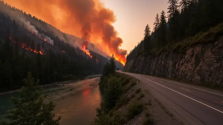
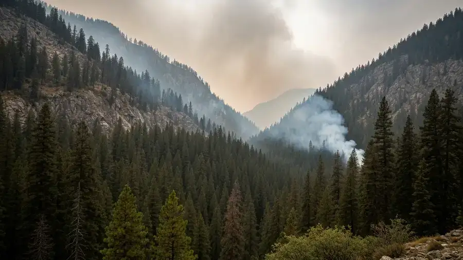
Like so many of this season’s fires, the Border 2 Fire is believed to have been sparked by lightning rather than human activity — an ignition source that tends to place fires in exactly the sort of country where they are hardest to reach. The park service describes the fire as burning in remote, steep, densely forested and rocky terrain, the kind of landscape that limits how quickly crews and equipment can engage.
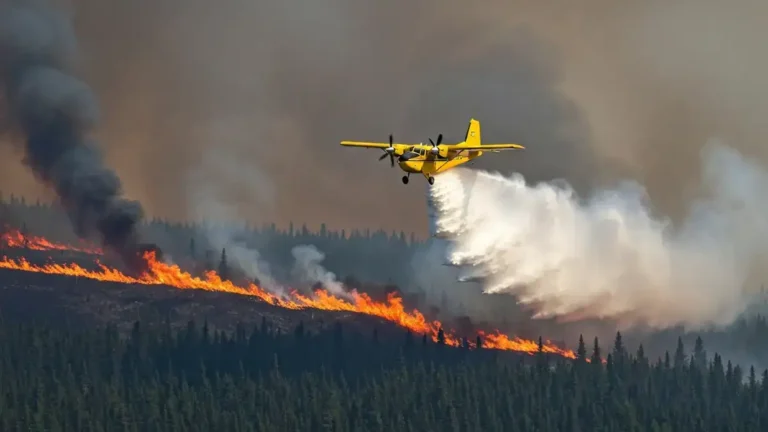
That terrain shapes everything about the response. In rugged, roadless ground, firefighters often cannot simply drive to a fire’s edge; they rely on aircraft, hand crews hiking in, and natural features to anchor containment. Despite the challenges, the fire is being managed under a full-suppression strategy — meaning the goal is to put it out rather than monitor it — with incident command being organized to take the fight forward.
The full-suppression choice is significant. In some remote wilderness settings, managers may allow a lightning fire to burn under watch, letting it play its natural ecological role where it poses little risk. Opting instead to fully suppress the Border 2 Fire signals that officials see enough threat — to values at risk, to the border communities, or from the forecast — to justify committing scarce crews and aircraft to a hard-to-reach blaze. It also means bringing in a dedicated incident management team to organize the effort, a step up in coordination that reflects both the fire’s cross-border spread and the expectation that conditions could worsen before they improve.
Why Cross-Border Fires Are Hard to Manage
A fire that spans two countries introduces a layer of complexity beyond terrain. Different jurisdictions bring different agencies, protocols and resources, and coordinating a unified response across the border requires deliberate cooperation between American and Canadian fire managers. Decisions about where to build line, how to allocate scarce aircraft, and who leads on which flank all have to account for two sets of authorities working the same fire.
The impacts are cross-border too. Smoke generated on one side of the line drifts freely to the other, degrading air quality far from the flames — the same dynamic that has repeatedly carried wildfire smoke from Canada across international boundaries. For communities, forestry crews and the public, that means a fire’s reach extends well beyond the perimeter drawn on a map. Tools that consolidate fire information, such as dashboards tracking B.C. wildfires, become especially valuable when an incident spans multiple agencies and jurisdictions.
The Weather Threat and Wider Season
The near-term outlook offers little comfort. The park service warned that fire activity is expected to be elevated with upcoming hot, dry and windy conditions over the coming days, until cooler weather returns to the area. Those are precisely the conditions that can push a modest fire into a rapid run, especially in cured fuels on steep slopes.
For now, the Border 2 Fire is a small but telling episode in a punishing season — a lightning strike in the mountains that has become an international incident. How it behaves through the next stretch of hot, windy weather will determine whether it remains a manageable wilderness fire or grows into something that demands a larger, coordinated cross-border response. Either way, it is a preview of a challenge becoming more common as fire seasons lengthen on both sides of the line: blazes that ignore the boundary entirely and force two countries, in effect, to fight a single fire together.