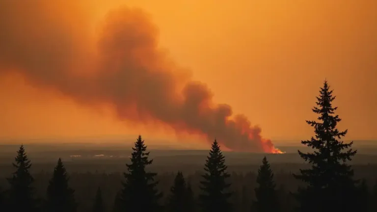
Satellite shows giant smoke plumes from Sask., Alberta forest fires
Satellite images of the forest fires in northern Alberta and Saskatchewan have shown the extent of the wildfires that have displaced thousands of people this week.
The National Aeronautics and Space Administration’s Aqua satellite showed plumes of smoke stretching from multiple points hundreds of kilometres to the southeast.
Actively burning areas are outlined in red, while forests appear dark green.
Smoke has been raising health concerns in Regina and other communities that are hundreds of kilometres south of the fires. People with asthma or heart conditions have been advised to stay indoors.
There were 115 fires burning in Saskatchewan on Monday.
