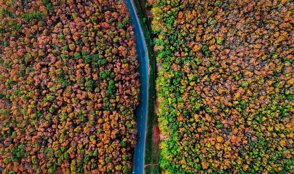
Launched less than two months ago, the European Space Agency’s (ESA) Biomass satellite mission is already making waves with its pioneering approach to understanding Earth’s forests and their role in the global carbon cycle. Equipped with advanced radar technology, Biomass offers an unprecedented view beneath forest canopies, providing data that will help scientists quantify carbon storage and monitor forest health on a global scale.
Beyond forests, the mission’s capabilities extend to some of the planet’s most extreme environments, including deserts and polar ice regions. While still in its commissioning phase, Biomass’s early images demonstrate the satellite’s exceptional potential to transform how we observe and manage Earth’s natural resources.
Revolutionary Radar Technology for Forest Biomass Measurement
Biomass is the first satellite to carry a P-band synthetic aperture radar. This radar wavelength is capable of penetrating dense forest canopies to measure woody biomass, including trunks, branches, and stems. These measurements serve as a direct proxy for carbon storage, which is critical for understanding forests’ contributions to carbon sequestration and climate change mitigation.
The satellite’s ability to “see through the trees” enables it to capture detailed information on forest structure that traditional optical satellites cannot. Unlike optical sensors that only observe the canopy surface, Biomass’s radar penetrates deeper layers, making it possible to assess total forest biomass and carbon stocks with greater accuracy.
Early Images Showcase Global Diversity of Forest and Landscapes
Among the first images released is a vibrant radar composite of Bolivia, an area noted for significant deforestation primarily caused by agricultural expansion. Using different polarisation channels, the image distinguishes rainforest (green hues), forested floodplains and wetlands (red), grasslands (blue-purple), and water bodies (black). This detailed differentiation highlights the mission’s ability to reveal complex landscape features.
Further images captured in northern Brazil’s Amazon rainforest illustrate Biomass’s ability to penetrate dense vegetation and detect underlying features like wetlands and floodplains. The radar’s long wavelength reveals both ecological and topographical characteristics, providing crucial data for monitoring ecosystem health and dynamics.
Comparing Biomass with Optical Satellite Imagery
A direct comparison with Copernicus Sentinel-2 optical imagery demonstrates Biomass’s superiority in forest monitoring. While Sentinel-2 captures only the upper canopy surface, Biomass penetrates the entire forest profile, offering richer information about biomass and carbon storage potential. This ability will allow scientists to better quantify forest carbon stocks and refine models related to the global carbon cycle.
Expanding Applications Beyond Forests
Biomass’s radar capabilities extend beyond forest monitoring to mapping other Earth environments, including:
- Volcanic terrains: Radar images of Indonesia’s Halmahera rainforest reveal mountainous volcanic features, demonstrating the ability to capture terrain underneath dense vegetation.
- River systems and topography: Imagery from Gabon highlights important river networks like the Ivindo River, showcasing how radar penetrates forest canopies to reveal underlying landforms.
- Desert geology: In the Sahara Desert’s Tibesti Mountains of Chad, the radar penetrates dry sand to map subsurface structures such as ancient riverbeds and fossil water resources, providing clues about past climates.
- Polar ice: The satellite’s long wavelength radar can penetrate ice sheets, as shown by images of Antarctica’s Transantarctic Mountains and Nimrod Glacier. This capability allows researchers to study ice velocity and internal structures inaccessible to shorter wavelength radars.
Looking Forward: Earth Observation with Biomass
As the Biomass satellite completes its commissioning phase and begins full operations, it promises to deliver groundbreaking data that will significantly improve our understanding of forest carbon dynamics and the health of critical ecosystems worldwide. The mission will support global efforts to track deforestation, monitor climate change impacts, and guide conservation strategies.
By combining cutting-edge radar technology with continuous global monitoring, Biomass stands to become a cornerstone of Earth observation programs, offering new perspectives on some of the most pressing environmental challenges of our time.
This article is a follow-up to a previous one here.